Dublin Core
Title
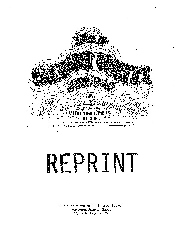
Map of Calhoun County Michigan [1858]
Subject
Maps
Cadastral maps
Calhoun County (Mich.)--History
Description
This is a reprint of the 1858 map of Calhoun County originally published by Geil, Harley & Siverd. The original is a scroll-type map, measuring 4'8" by 4'10" and the information used was gathered in late 1857. For the reprint, the map was carefully reproduced in 8.5" by 11" (letter) size, and published by the Albion Historical Society in 1991.
Creator
Bechler & Wenig, Topographical Engineers
Herline & Hensel, Lithographers and Printers (Philadelphia, Pa.)
Source
Recreation of a scroll-type map, measuring 4'8" by 4'10."
Publisher
Geil, Harley & Siverd (Philadelphia, Pa.)
Date
1857-1857
1991
Contributor
Albion Historical Society (Albion, Calhoun County, Mich.)
Passic, Frank
Rights
Received permission to publish from Albion Historical Society president Andy Zblewski on February 23, 2021.
Relation
An original copy of the 1858 scroll-type map is available at the Marshall District Library, upon request. The map is in extremely fragile condition, so accessibility may be limited.
In MDL reference collection:
REF 977.42 MAP
REF 977.42 MAP
Calhoun County plat maps from 1873, 1894, and 1916 are available on HathiTrust.org.
Format
pdf
Language
English
Type
Text
Identifier
MDL.LH.006.001
Coverage
Calhoun County (Mich.)
